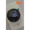
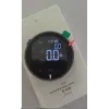
Distance Measuring Instrument Electronic

Overview:
- Mini size, convenient and practical.
- Lightweight to 35g, compact and portable.
- 8 functions, simple operation with three keys.
- 99 meters long distance measurement.
- Lithium battery direct charge, 200 days long standby.

Product information:
Shell material: aluminum alloy + silica gel
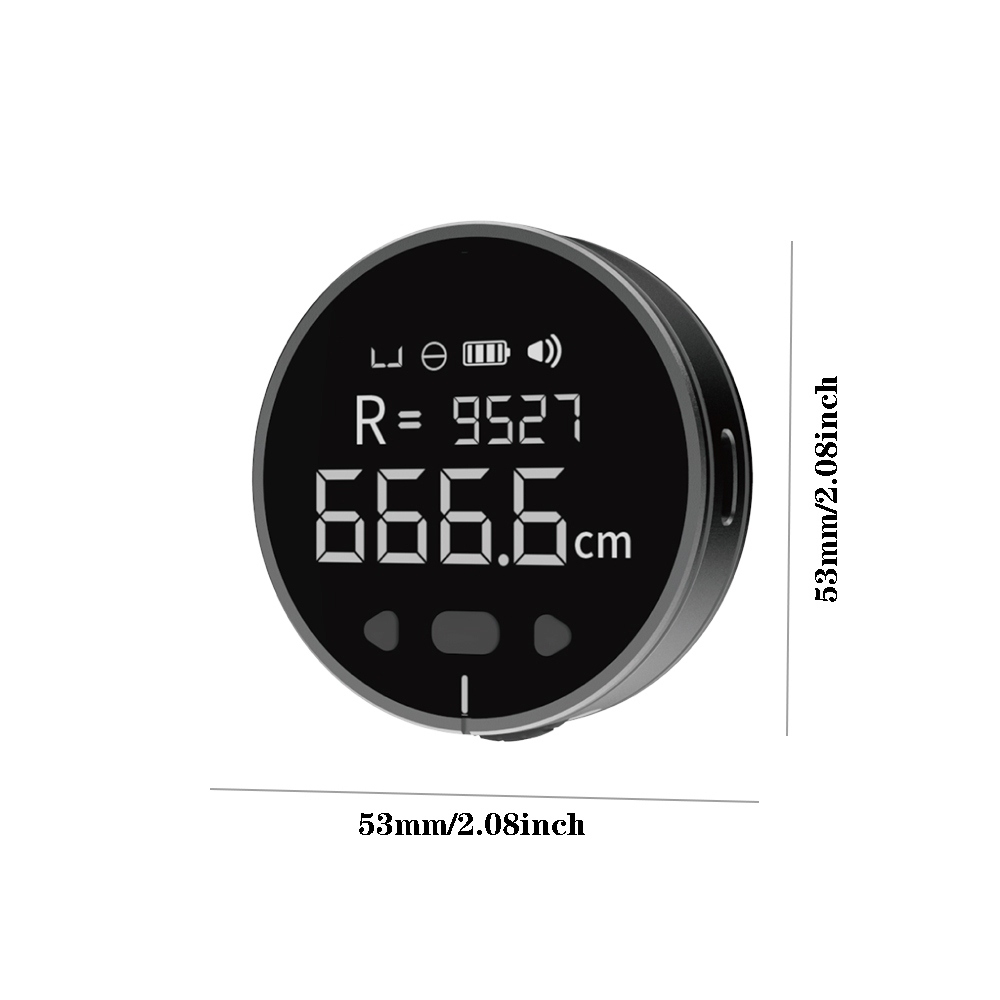
Screen: 1.8 inch va lcd display
Shell technology: fine polishing + frosted sandblasting
Screen coverage: 4h super hard
Size: 53*15mm (diameter * thickness)
Net weight: 35g
Single measurement distance: up to 9.99 meters
Cumulative scale: maximum 99.99 meters
Accuracy: 0.5%, stepless support adjustment
Backlight time: 30-180 seconds
Buzzer: On/Off
Battery: 200mah 0.74wh
Tips: The product function does not include laser and infrared
Packing list:
1 x electronic ruler
1 x type c charging cable
Key Features
- High Accuracy and Range: EDM instruments offer exceptional accuracy, often within millimeters, over long distances. Some models can measure distances up to several kilometers, making them ideal for large-scale projects.
- Advanced Technology: These instruments use electromagnetic waves, including light, infrared, and microwave, to determine distances. The time it takes for the waves to reflect back from a target (usually a prism or reflector) is used to calculate the distance.
- User-Friendly Design: Many EDM instruments come with digital displays, backlit keypads, and easy-to-navigate interfaces, allowing for quick and straightforward operation.
- Versatility: Suitable for a variety of environments and applications, including land surveying, construction layout, road and railway length measurements, and even archaeological site mapping.
Types of EDM Instruments
- Microwave Instruments: Use microwaves for measurements and are ideal for long distances, up to 100 km.
- Infrared Instruments: Utilize infrared waves with a range of up to 3 km, suitable for most civil engineering works.
- Light Wave Instruments: Employ visible light for high-precision measurements, commonly used in various surveying tasks.
Applications
- Land Surveying: Accurate mapping and boundary setting.
- Construction: Monitoring site layouts, calculating material requirements, and ensuring accurate infrastructure development.
- Engineering: Precise measurements for infrastructure projects and structural monitoring.
- Other Uses: Ideal for forestry, navigation, and archaeological studies.
The product may be provided by a different brand of comparable quality.
The actual product may vary slightly from the image shown.
Shop amazing plants at The Node – a top destination for plant lovers


.jpg)


.jpeg)


.jpeg)


.jpeg)


.jpeg)


.jpeg)

.jpeg)

.jpeg)
.jpeg)


.jpeg)
.jpg)

.jpeg)


.jpeg)
.jpeg)


.jpeg)


.jpeg)

.jpeg)

.jpeg)

.jpeg)
.jpeg)


.jpeg)
.jpeg)
.jpeg)


.jpeg)


.jpeg)


.jpg)
.jpeg)


.jpg)


.jpeg)


.png)


.png)